SRWP Data Program
SRWP Data Portal
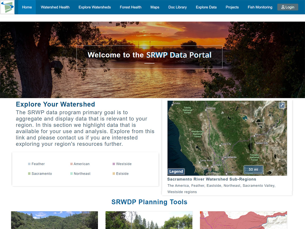
The Sacramento River Watershed Data Program (SRWDP) is a collaborative effort to support restoration and management activities throughout the Sacramento River Watershed. This effort is led by the SRWP and 34 North. SRWP brings together dozens of groups and thousands of people concerned about the health of the Sacramento River and its watershed. With a proven track record of success, SRWP operates through consensus-based collaborative partnerships, coordination of research and monitoring, and enhancing mutual education among the stakeholders of the Sacramento River Watershed.
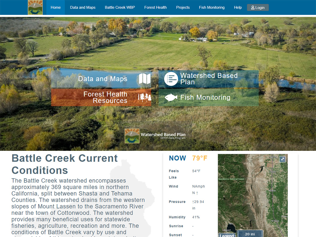
Battle Creek
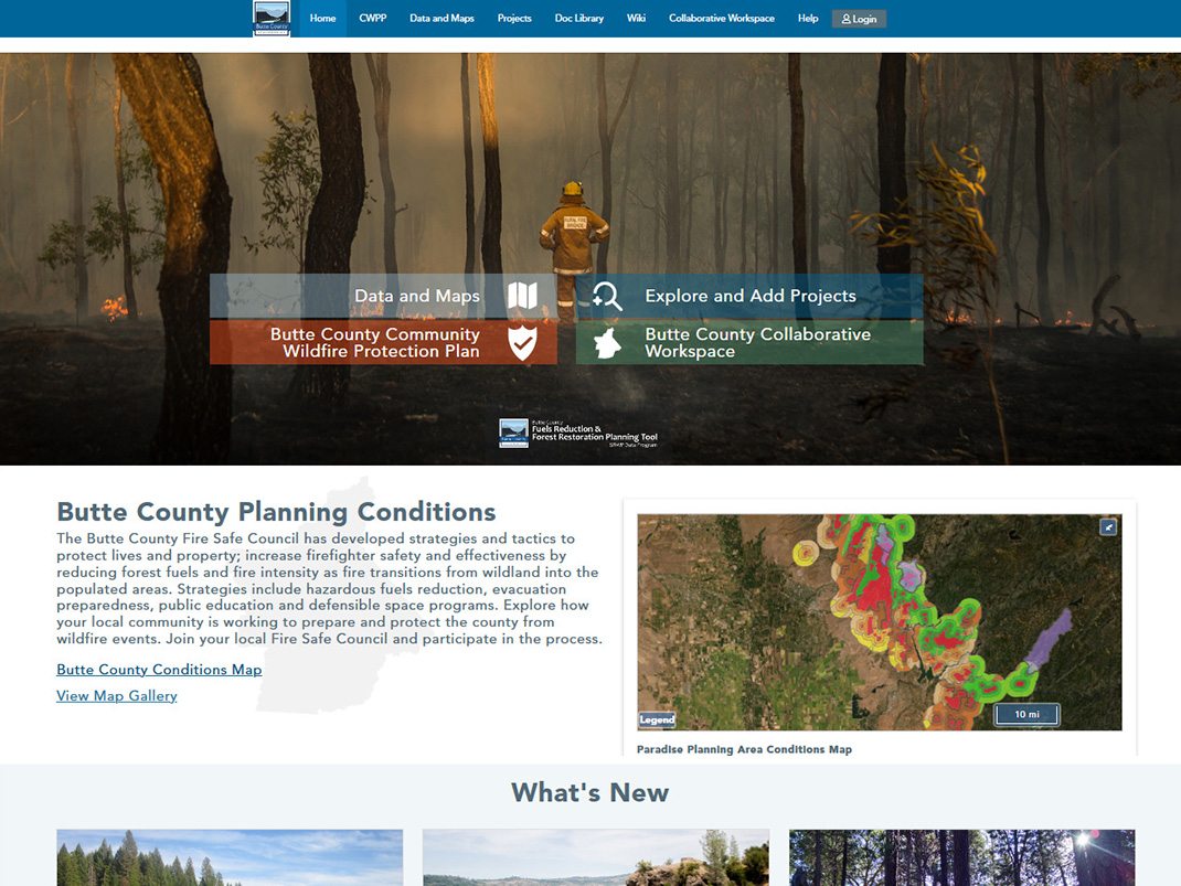
Butte County
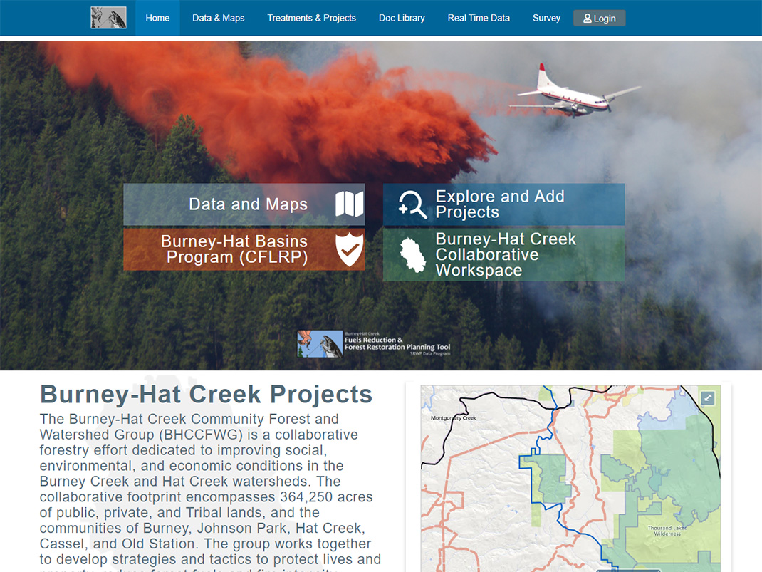
Northern California
Yuba County
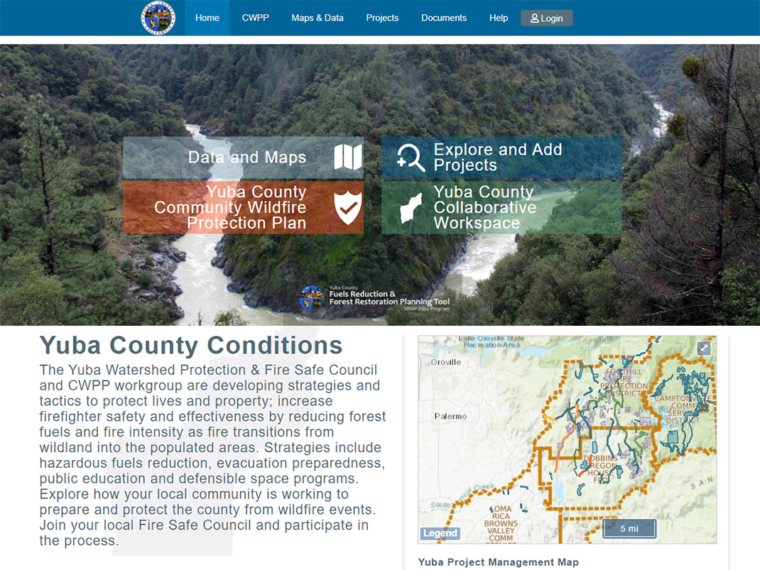
Click a region above to view that subwatershed, or here to see them all.
Our mission is to ensure that current and potential uses of the watershed's resources are sustained, restored, and where possible, enhanced, while promoting the long-term social and economic vitality of the region.


